
From the 8,831 ft summit of Mt. Pinos to the creek-side canyons of Wind Wolves Preserve, Frazier Mountain offers four seasons of high-country hiking. Use this guide to plan your next trek — trailheads, ranger contacts, and official links included.
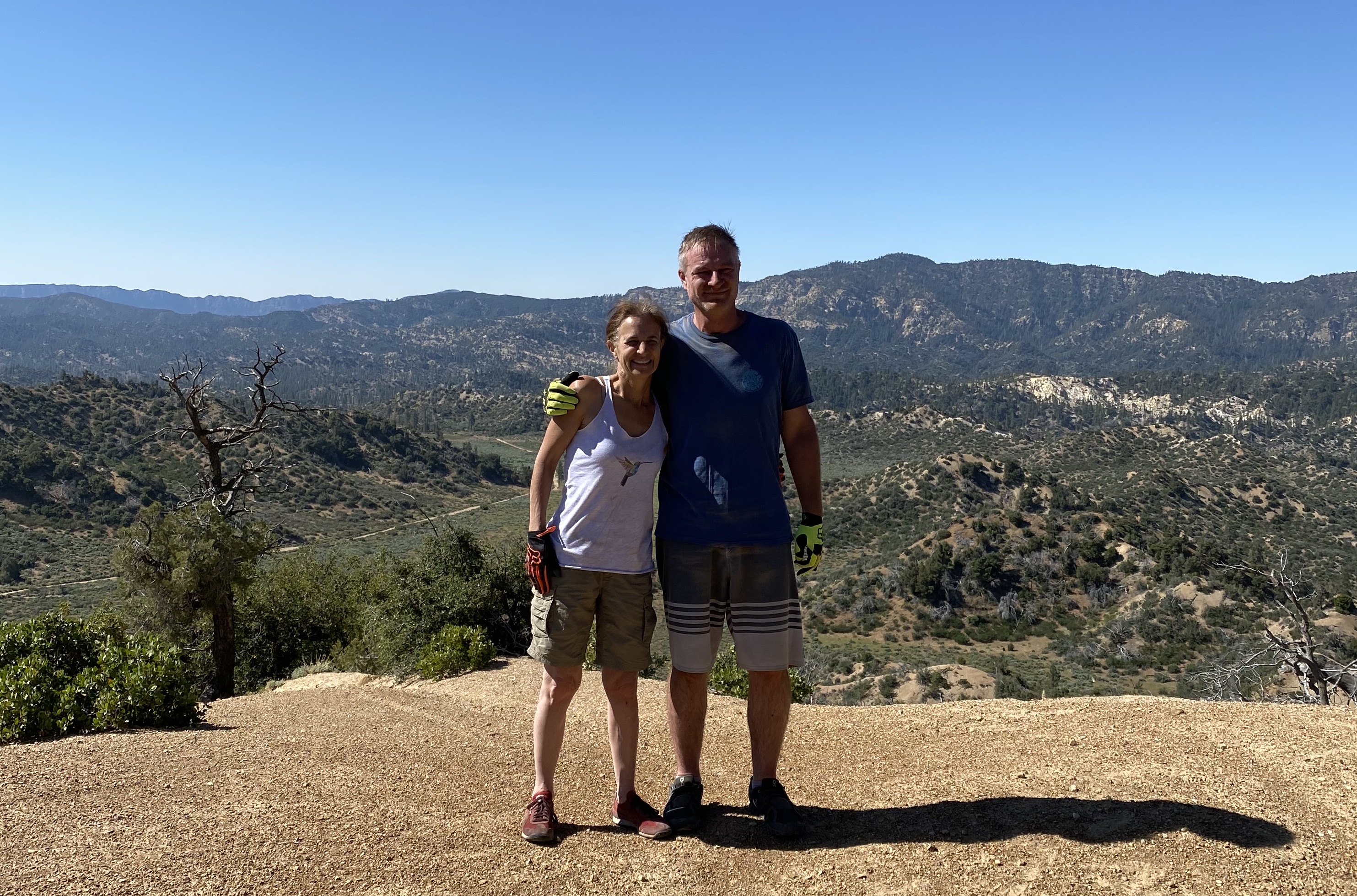
Easy Trails
Gentle grades and accessible terrain — perfect for families, casual walkers, and scenic strolls with rewarding views for minimal effort.
Chula Vista Trailhead
High-elevation (8,300 ft) trailhead and walk-in campground at the end of Mt. Pinos Road, serving as a gateway to the Mt. Pinos summit and surrounding trails.
Big Meadow
A scenic high-elevation meadow area on Mt. Pinos popular for wildflower viewing, picnicking, and dispersed camping amid the pines.
Mt. Pinos Nordic Base
The first-aid and operations base for the Mt. Pinos Nordic Ski Patrol, located at the end of Cuddy Valley Road. Serves as the main parking and trailhead for Mt. Pinos summit hikes and winter cross-country skiing.
Mt Pinos Vista Point
A scenic roadside overlook along Cuddy Valley Road offering sweeping views of the surrounding peaks and valleys — a popular stop for photos and sunset watching.
Mt Pinos Vehicle Meeting Spot
A vehicle staging and meeting area at the Mt. Pinos Nordic Base parking lot, commonly used as a gathering point for group hikes, carpooling, and Nordic ski tours in winter.
Chuchupate Ranger Station
The Mt. Pinos Ranger District office and visitor information station for the Los Padres National Forest — maps, permits, and current trail conditions. Mon–Fri 8am–4:30pm.
Frazier Park Trailhead
A community trail access point in Frazier Park connecting to the Los Padres National Forest trail network, ideal for local day hikes and forest walks.
Enchanted Forest Trailhead
A magical singletrack trail winding through dense forest alongside a seasonal stream, with beautiful views and peaceful nature sounds. Park at the trailhead at the end of Bernina Drive.
End of the Wilderness Trail
A quiet trailhead access point in Pine Mountain Club leading into the surrounding Los Padres National Forest backcountry, popular with locals for peaceful forest walks.
Wind Wolves Preserve
The 93,000-acre flagship preserve of The Wildlands Conservancy — the largest nonprofit nature preserve on the West Coast. Free admission, with miles of hiking and biking trails, tule elk viewing, and camping.
Tule Elk Trail End
The far end of the Tule Elk Trail in Wind Wolves Preserve, a scenic route through grasslands where grazing tule elk can often be spotted.
Fort Tejon State Historic Park
A former U.S. Army outpost (1854–1864) preserving original adobe buildings with exhibits, living-history demonstrations, and a group campground. Visitor center open Tue–Sat 9am–4pm.
Cedar Creek Trailhead
A trailhead along the Lockwood Creek OHV route providing access to Cedar Creek and surrounding backcountry trails in the Los Padres National Forest.
Johnston Ridge Trailhead
A trailhead along the Lockwood Creek OHV route offering access to Johnston Ridge and connecting trails through the rugged backcountry north of Alamo Mountain.
Moderate Trails
A steady workout with some elevation gain — ideal for hikers ready to push a bit further into the high country.
Mt Pinos Mountain Peak
At 8,831 ft, the highest peak in Kern County and a sacred site of the Chumash people. Renowned for summit hiking, winter snow play, and some of the finest stargazing in Southern California.
Sawmill Mountain
An 8,818 ft peak along the Vincent Tumamait Trail, reached via a short side trip from the Mt. Pinos summit route. Offers outstanding ridge-top views.
Grouse Mountain
An 8,582 ft peak reached via a short side trip off the Vincent Tumamait Trail between Mt. Pinos and Sawmill Mountain, rewarding hikers with expansive views.
Mount Pinos Hiking Trail
The main summit trail departing from the Nordic Base parking lot — a moderate 2-mile hike on an old fire road to the Mt. Pinos summit with panoramic ridge views.
McGill Trail 21W02
A 3.7-mile hiking and mountain-biking trail off Cuddy Valley Road that serves as a popular route to the Mt. Pinos summit, passing through forested slopes.
Horse Camp Trail
A forested trail departing the Cuddy Valley / Mt. Pinos area toward historic horse-camp meadows, popular with equestrians and hikers for its gentle grades and shaded passage through tall pines.
West Tumamait Trailhead
An 8,080 ft trailhead along Cerro Noroeste Road near the summit of Cerro Noroeste, east of Camp Alto Campground — the western terminus of the Vincent Tumamait Trail.
Cerro Noroeste
An 8,283 ft sub-alpine peak in Los Padres National Forest, just west of Frazier Park. Reached via Cerro Noroeste Road, with trail access to the Vincent Tumamait Trail and Campo Alto Campground.
Eagle Pass Ridge
A high saddle along the Vincent Tumamait Trail between Sawmill Mountain and Cerro Noroeste, serving as a scenic ridge-top waypoint with expansive views across the San Emigdio range.
San Emigdio Canyon Trailhead
A moderate 7.2-mile round-trip trail through Wind Wolves Preserve following a creek-side canyon with varied landscapes and valley views.
Reflection Pond (Chumash Site at Windwolves)
A dry sag pond surrounded by large sandstone rocks containing Chumash bedrock mortars, reached via a steady incline trail offering stunning preserve views.
North Fork Lockwood Trail
A backcountry hiking trail following the North Fork of Lockwood Creek through the Los Padres National Forest, accessing the scenic Fishbowls rock formations and connecting to deeper wilderness routes toward Sespe Creek.
Fishbowls Trailhead
Trailhead accessing the Fishbowls — distinctive natural rock basins and sandstone formations in the Los Padres National Forest backcountry, reached via the North Fork Lockwood Trail.
Strenuous Trails
Long, steep, and demanding backcountry routes for experienced hikers — come prepared with water, maps, and proper gear.
East Tumamait Trailhead - 21W03
High-elevation (8,800 ft) trailhead atop Mt. Pinos at the west end of Forest Service Road 9N24. Vehicle access prohibited; reach on foot or horseback.
Chumash Wilderness
Pristine backcountry wilderness encompassing Mt. Pinos, Sawmill Mountain, and Grouse Mountain — sacred Chumash land with ancient rock formations and diverse wildlife habitats.
Condor Summit & Vincent Tumamait Trail
The Vincent Tumamait Memorial Trail is a roughly 14-mile ridge route traversing the crest of the San Emigdio Mountains from Cerro Noroeste to Mt. Pinos, passing Condor Summit and several high peaks. Named for a beloved Chumash elder, it offers some of the most spectacular high-country hiking in the Los Padres National Forest.
Frazier Mountain Trailhead
Trailhead on the west side of Frazier Mountain Road (Forest Road 8N04) leading to the 8,013 ft summit of Frazier Mountain and its historic fire lookout tower.
Frazier Mountain
An 8,013 ft summit south of Frazier Park topped by a historic fire lookout tower, reached via Forest Road 8N04 from the Chuchupate Ranger Station area.
Tecuya Mountain
A peak just north of Frazier Park best accessed via the Cold Springs Trail, beginning on an old gravel road and climbing through diverse terrain to summit views.
Pronghorn Trail from Quail Canyon Road
A rugged backcountry trail accessed from Quail Canyon Road off Mil Potrero Highway, climbing the north side of Pine Mountain through chaparral and pine to ridge-top views over the Cuddy Valley.
San Emigdio Mountain
A prominent peak in the San Emigdio Mountains reached via the San Emigdio Mountain OHV Trail, offering sweeping views of the San Joaquin Valley and surrounding ranges.
Miller Jeep Trail
A rugged 3-mile 4x4 jeep trail (20W06) in the Los Padres National Forest near Hungry Valley SVRA, popular with off-highway enthusiasts. Nearest town: Frazier Park.
Alamo Mountain
A 7,410 ft peak in the Los Padres National Forest topped by a historic fire lookout tower, offering panoramic views of the surrounding wilderness. Reached via forest roads from Lockwood Valley.
Sespe Wilderness
Over 200,000 acres of rugged roadless backcountry with more than 160 miles of trails, including the famed Sespe River Trail and natural hot springs. Accessed via multiple trailheads including Reyes Creek off Lockwood Valley Rd.
Before you go
- — Carry plenty of water; there is no potable water at most trailheads.
- — Check current conditions with the Mt. Pinos Ranger District, (661) 245-3731, before driving to high-elevation trailheads.
- — Cell service is limited. Download maps and directions ahead of time.
- — Forest roads to the Mt. Pinos Nordic Base and high trailheads can be snow-covered or muddy in winter and spring; a high-clearance vehicle helps on some access roads.
- — A free California Campfire Permit is required for any stove use, and seasonal fire restrictions are common.
Find Hikes & Trails on the Map
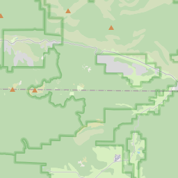
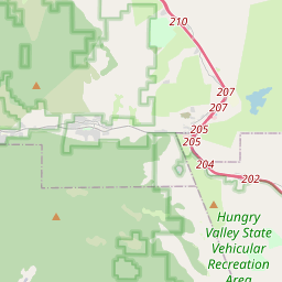
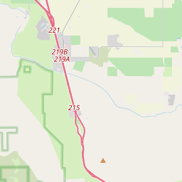
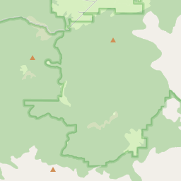
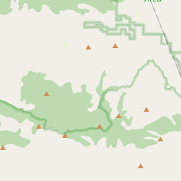
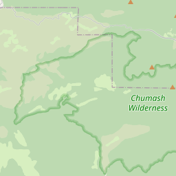

Mt Pinos Mountain Peak
At 8,831 ft, the highest peak in Kern County and a sacred site of the Chumash people. Renowned for summit hiking, winter snow play, and some of the finest stargazing in Southern California.
Mt. Pinos Summit & High Country
Mt. Pinos Nordic Base & Cuddy Valley
Cerro Noroeste & Western Peaks
Frazier Mountain & Frazier Park
Pine Mountain Club Community Trails
Wind Wolves Preserve
Lebec, Gorman & Tejon Pass
Lockwood Creek OHV Trail
Sespe Wilderness